
Conte aos seus amigos sobre este item:
Lateral and Vertical Channel Movement and Potential for Bed-material Movement on the Madison River Downstream from Earthquake Lake, Montana
5u.s. Department of the Interior
Item sob encomenda (no estoque do fornecedor)
O que dizem nossos clientes:


Lateral and Vertical Channel Movement and Potential for Bed-material Movement on the Madison River Downstream from Earthquake Lake, Montana
5u.s. Department of the Interior
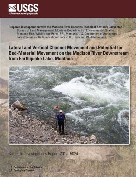
The 1959 Hebgen Lake earthquake caused a massive landslide (Madison Slide) that dammed the Madison River and formed Earthquake Lake. The U. S. Army Corps of Engineers excavated a spillway through the Madison Slide to permit out-flow from Earthquake Lake. In June 1970, high streamflows on the Madison River severely eroded the spillway channel and damaged the roadway embankment along U. S. Highway 287 downstream from the Madison Slide. Investigations undertaken following the 1970 flood events concluded that substantial erosion through and downstream from the spillway could be expected for streamflows greater than 3,500 cubic feet per second (ft3/s). Accordingly, the owners of Hebgen Dam, upstream from Earthquake Lake, have tried to man-age releases from Hebgen Lake to prevent streamflows from exceeding 3,500 ft3/s measured at the U. S. Geological Survey (USGS) gaging station 0638800 Madison River at Kirby Ranch, near Cameron, Montana.
| Mídia | Livros Paperback Book (Livro de capa flexível e brochura) |
| Lançado | 23 de julho de 2014 |
| ISBN13 | 9781499644203 |
| Editoras | CreateSpace Independent Publishing Platf |
| Páginas | 52 |
| Dimensões | 216 × 280 × 3 mm · 149 g |
| Idioma | English |
Ver tudo de 5u.s. Department of the Interior ( por exemplo Paperback Book )