Conte aos seus amigos sobre este item:
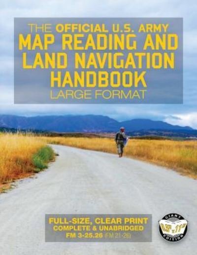
The Official US Army Map Reading and Land Navigation Handbook - Large Format U S Army
Item sob encomenda (no estoque do fornecedor)
 Presentes de Natal podem ser trocados até 31 de janeiro

O que dizem nossos clientes:


The Official US Army Map Reading and Land Navigation Handbook - Large Format
U S Army
Find Your Way in the Wilderness - Never be Lost Again!
Indispensable preparedness knowledge for every bookshelf, bug-out bag, cabin, RV and auto. Largest format available anywhere! Giant 8.5" x 11" size means easy-to-read text & easy-to-copy pages Created & trusted by U. S. military forces. Includes training on the Defense Advanced GPS Receiver (DAGR) and Precision Lightweight GPS Receiver (PLGR). This edition supersedes the old FM 21-76. "Batteries last hours, books last decades. Get the print edition!"
The ability to interpret a map and correlate its information with the world around one is a core life skill for everyone, but one which is often neglected.
Whether you are engaged in military operations, training exercises, orienteering, outback travel, or if you find yourself in a life-threatening survival situation such as a plane crash, map-and-compass navigation means the difference between success and failure, or between life and death for you and your party.
This handbook covers every aspect of map reading and land navigation from basic principles through to practical application, enabling you not only to travel over any terrain in the world, comfortable in the knowledge that your position is known and that you are moving towards your goal, but to educate others to be equally-capable navigators.
TRAINING STRATEGY MAPS MARGINAL INFO & TOPOGRAPHICAL SYMBOLS GRIDS/li> SCALE & DISTANCE DIRECTION OVERLAYS AERIAL PHOTOS NAVIGATION EQUIPMENT & METHODS ELEVATION & RELIEF TERRAIN ASSOCIATION MOUNTED LAND NAVIGATION NAVIGATION IN DIFFERENT TYPES OF TERRAIN UNIT SUSTAINMENT SKETCHES MAP FOLDING UNITS OF MEASURE & CONVERSION JOINT OPERATIONS GRAPHICS ORIENTEERING M2 COMPASS ADDITIONAL AIDS FOREIGN MAPS GPS MILITARY GPS RECEIVERS
Search for 'CARLILE MILITARY LIBRARY' to find more TOP-FLIGHT, SQUARED-AWAY publications for your professional bookshelf!
Information purposes only.
Proudly published in the U. S. A. by CARLILE MEDIA.
| Mídia | Livros Paperback Book (Livro de capa flexível e brochura) |
| Lançado | 27 de setembro de 2017 |
| ISBN13 | 9781977649270 |
| Editoras | Createspace Independent Publishing Platf |
| Páginas | 290 |
| Dimensões | 216 × 280 × 15 mm · 675 g |
| Idioma | Inglês |