
Conte aos seus amigos sobre este item:
Los Angeles in Maps First edition
Glen Creason
O que dizem nossos clientes:

Los Angeles in Maps First edition
Glen Creason
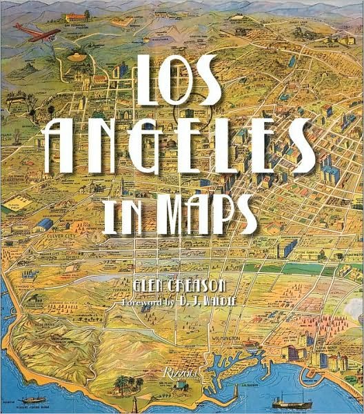
An illustrated cartographic history of the City of Angels from the colonial era to the present. Los Angeles inhabits a place of the mind as much as it does a physical geographic space. A land of palm trees and movie stars, sunshine and glamour, the city exists in the imagination as a paradise; of course, the reality is much bigger than this. Through seventy reproductions of seminal and historic documents, Los Angeles in Maps presents the evolution of this almost mythical place. Maps featured include historic Spanish explorers? charts from as early as 1791, as well as more recent topographic surveys, tourist guides, real estate maps, bird?s-eye views, and more. Like the course of the Los Angeles River, the book winds through essential terrain: the discovery of oil, the rise of Hollywood, the streetcar system, Los Angeles Harbor, earthquakes, sprawl, and splendor.
192 pages, 80 Illustrations
| Mídia | Livros Hardcover Book (Livro com lombada e capa dura) |
| Lançado | 19 de outubro de 2010 |
| ISBN13 | 9780847833917 |
| Editoras | Rizzoli International Publications |
| Páginas | 192 |
| Dimensões | 239 × 277 × 23 mm · 1,38 kg |
| Idioma | English |
| Contribuidor | D.J. Waldie |
| Contribuidor | Joe Linton |
| Contribuidor | Morgan P. Yates |
Ver tudo de Glen Creason ( por exemplo Hardcover Book )